DH Methods Propel Landmark UVA Landscape Studies Initiative
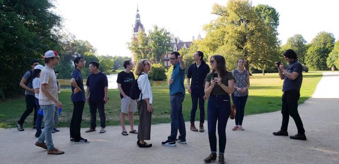
UVA Architecture Professors Michael Lee and Beth Meyer with Architecture students during a site visit related to the Landscape Studies Initiative.
DH Methods Propel Landmark UVA Landscape Studies Initiative
A sweeping landscape studies project is set to make UVA the preeminent university for studying the natural environment, human influence on the natural world, and the meaning of place. Faculty, staff, and graduate students at the UVA School of Architecture work on the Landscape Studies Initiative (LSI). With Elizabeth Barlow Rogers’ classic textbook, Landscape Design: A Cultural and Architectural History, as the project’s intellectual foundation, LSI spans the humanities, biophysical and social sciences, and design disciplines. Drawing upon text, archival sources, field work, and digital images, the project, led by Architecture professors Beth Meyer and Michael Lee, will utilize topic modeling, natural language processing, computer vision, and other DH methods to produce a relational database as part of a public website that will be accessible to researchers and members of the public.
Rogers is widely credited with spearheading the revitalization of Central Park in her role as head of the Central Park Conservancy, founded in 1980. Through public-private partnerships, Rogers and her collaborators returned Central Park to its status as the world’s greatest public park over the course of her 16-year tenure as head of the Conservancy. The Landscape Studies Initiative seeks to develop a number of digital humanities projects based on chapters from Rogers’ 2001 textbook, which explores how humans have shaped the natural environment across cultures and millennia. The initiative’s pilot projects focus on Central Park in New York City and Park Muskau in Germany. Meyer and LSI project manager Allison James hope to produce a comprehensive, interactive database that deepens understandings of “entanglements between the human and non-human world.”
The Landscape Studies Initiative is a collaboration between a number of UVA entities and organizations beyond Grounds. Collaborators include:
-
the UVA School of Architecture
-
the Institute for Advanced Technology in the Humanities
-
the UVA College of Arts and Sciences
-
the UVA Libraries
-
The Mellon Foundation
-
Jefferson Trust
-
UVA Office of the Provost
-
DAAD (German Academic Exchange Service)
-
Oak Spring Garden Foundation
-
The New York Botanical Garden
For the Initiative’s pilot projects in Germany’s Park Muskau and Central Park, students and other participants have been at work constructing a relational database rooted in the aggregation of vast amounts of metadata, audio clips, video recordings, sketches, and still photos. In August of 2018, 12 students traveled to Germany to conduct fieldwork in Park Muskau under the direction of Architecture faculty Michael Lee and Beth Meyer. The students also visited the Bauhaus and Park Wörlitz (Dessau), Sanssouci and Charlottenhof (Potsdam), and the Tiergarten and the Berlin Wall (Berlin). Unlike a typical database of still images and primary documents, these pilot projects strive to provide users with immersive experiences and to display the interconnections between different points of information including sound and visual imagery.
Meyer says that she first started writing a grant for the Landscape Studies Initiative in 2016 as new research emerged about Monticello. Then, after the events of August 11 and 12, 2017 in Charlottesville, she wanted to “think about Charlottesville in terms of a larger cultural landscape.” Meyer remarked that the Central Virginia region serves as a prototype of places that have “erased landscapes of labor for leisure,” adding that the history of design and architecture in Charlottesville from 1865 to 1965 is “as sordid as its antebellum history.” She hopes that one function of the initiative will be to demonstrate the ways in which landscapes mask and cloak power. Through the “Racialized Topography of Jeffersonian Landscapes” project within LSI, researchers and the general public will be able to explore questions including but not limited to: what makes a good public space?; who has the right to loiter and linger in public spaces?; how do the various positionings of the built environment enable or hinder access?
In the fall of 2019, the Center for Cultural Landscapes hosted the Sara Shallenberger Brown Colloquium + Workshops: Towards a Charlottesville Cultural Landscape Atlas at UVA School of Architecture. Per the Center for Cultural Landscapes web page, “we seek to conceptualize an atlas that is multi-media, accessible and useful to the community we call home. We strive for it to spark the curiosity and imaginations of those who use it in their pursuit of the serious and the consequential.” The Colloquium convened public historians, Charlottesville and Central Virginia community members, representatives from non-profits, and scholars hailing from UVA and other universities. Meyer said she plans to follow up on the proceedings of this event with an invitation to attendees to form a research coalition.
James and Meyer plan to formally launch the LSI platform for public viewing in January 2023.